
Many years ago, as a young second lieutenant in the Marine Corps, my fellow classmates and I spent countless hours in the forests of Virginia learning land navigation techniques. Armed with little more than a map, compass, and protractor, we learned how to move from one point to another without modern technological advances.
Ironically, once I completed my training, I never again navigated without using the Global Positioning System (GPS) or other advanced navigation technology. GPS has become ubiquitous in our daily lives. Our vehicles, mobile devices, watches, and other gadgets can quickly determine where we are on the Earth without any real effort on our part. Most people take the technology for granted without ever understanding how it works or what exactly it is.
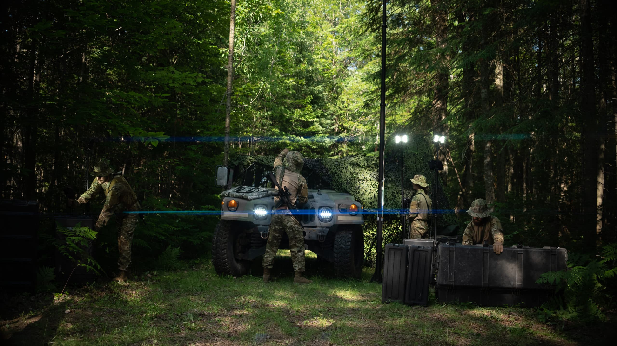
Military forces, first responders, and other public entities depend on having the ability to deploy rapidly and, for numerous applications, know precisely where they are located. Personnel, communications equipment, weapons systems, and resources are best utilized when planners have confidence in their location. This need has made GPS an essential tool.
Understanding why GPS technology is essential starts with understanding what it is and how it works. Only then can one fully appreciate the technology and understand the benefits it brings to the military, first responders, and other public entities.
What is GNSS?
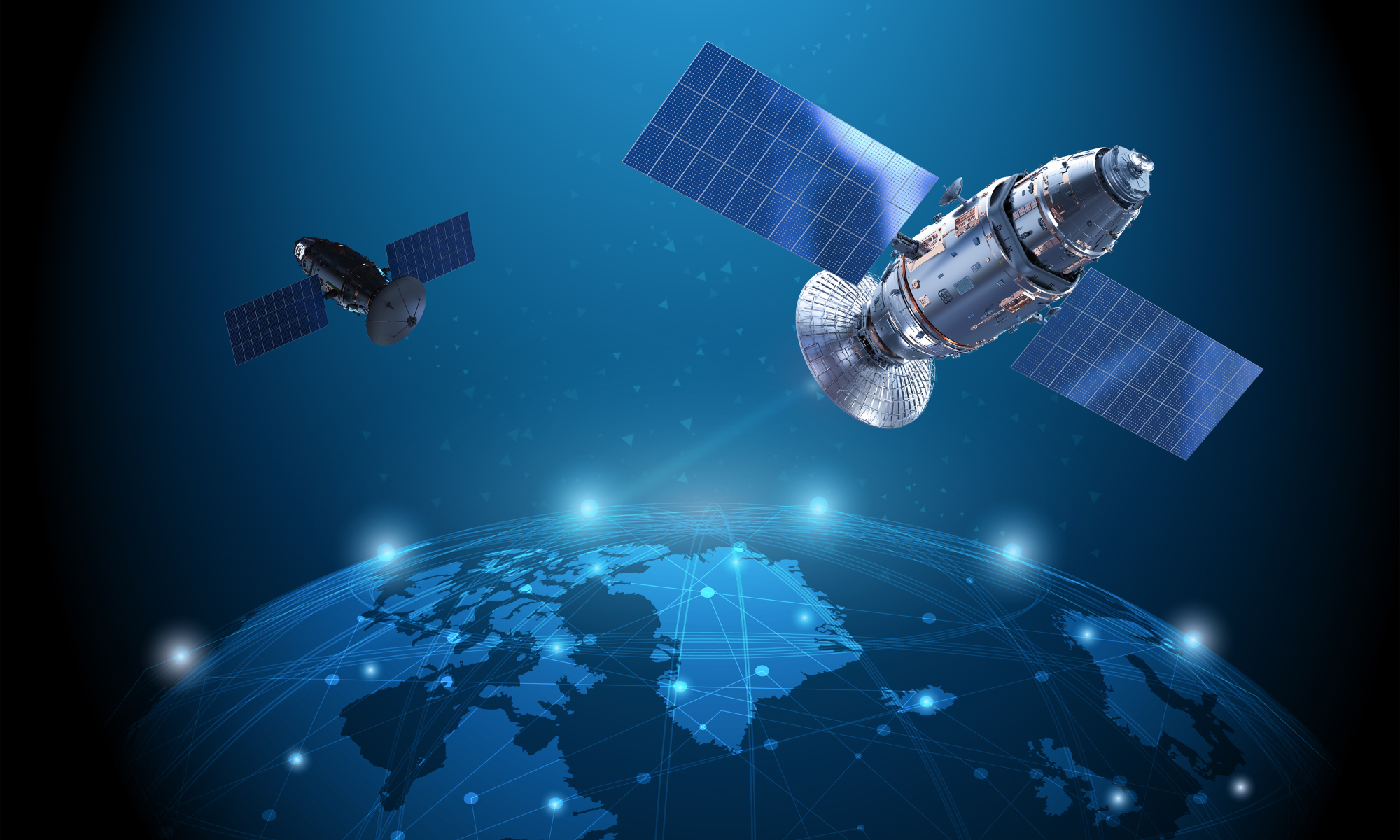
The world is surrounded by satellites. There are currently over 8,000 satellites orbiting our planet. These heavenly bodies have a wide range of applications. The Global Navigation Satellite System (GNSS) is one of the most important satellite networks.

GNSS is a general term that relates to satellite constellations that provide positioning, navigation, and timing (PNT). GPS is perhaps the most well-known; however, similar constellations exist, such as the European Union’s Galileo network and China’s BeiDou Navigation Satellite System.
GNSS is essentially a technology that allows geo-spatial positioning with global coverage. Without these satellite constellations, we would all be forced to return to more primitive methods of land navigation, like those I used in my early military career.
How Does It Work?
To understand how one GNSS constellation, GPS, works, let’s start with what is in orbit. As of July 3, 2023, there are 31 operational satellites in the GPS constellation, not including the decommissioned satellites and on-orbit spares. These satellites orbit the Earth in a Medium Earth Orbit (MEO), between 2,000 and 35,786 kilometers above the surface of the Earth.
GPS satellites are spread around Earth so that several satellites can be seen from any location worldwide. GPS uses trilateration to determine your location. Each satellite is a transmitter of radio waves. When you use a GPS receiver (handheld device, car, cell phone, etc.), the time it takes for the signal to travel between the satellite and the device is measured.

By calculating this time from your device with several satellites, you can obtain a very precise location. In most cases, this is around 7 meters of accuracy. Military applications are provided with more accurate positioning information.
What Are The Benefits?
The primary benefit of GNSS networks is the ability to accurately provide location. While this alone is an enormous benefit for civilians, first responders, and military personnel alike, it is by no means the only advantage of the technology. Let’s explore some of the additional ways GNSS is impacting our world.
Precision Targeting: Modern warfare continues to rely more and more on technology. One of the developments that have become extremely important within the last few decades are guided munitions. Before GPS, a wide range of technologies were attempted to be used for this purpose. In one example, the United States even worked on developing a pigeon-guided missile during WWII. Since integrating with GNSS, precision munitions have become more effective at hitting their target. In addition to improving effectiveness, the precision afforded by GNSS-guided weapon systems can typically minimize or eliminate collateral damage.

Enhancing Situational Awareness: A cornerstone of military operations is situational awareness. For military operations to be effective, commanders and other decision-makers must clearly understand unit and resource locations. In the past, obtaining this information was done by units calling in their locations via scheduled radio transmissions. This method often only provided a rough idea of friendly and enemy unit locations, as the fluidity of the battlefield could quickly make the last radioed-in position irrelevant. With GPS, military planners have real-time information on unit locations and movements. Assets such as recon teams, drones, and other aircraft can provide GPS locations of enemy forces like never before, allowing for unprecedented situational awareness.
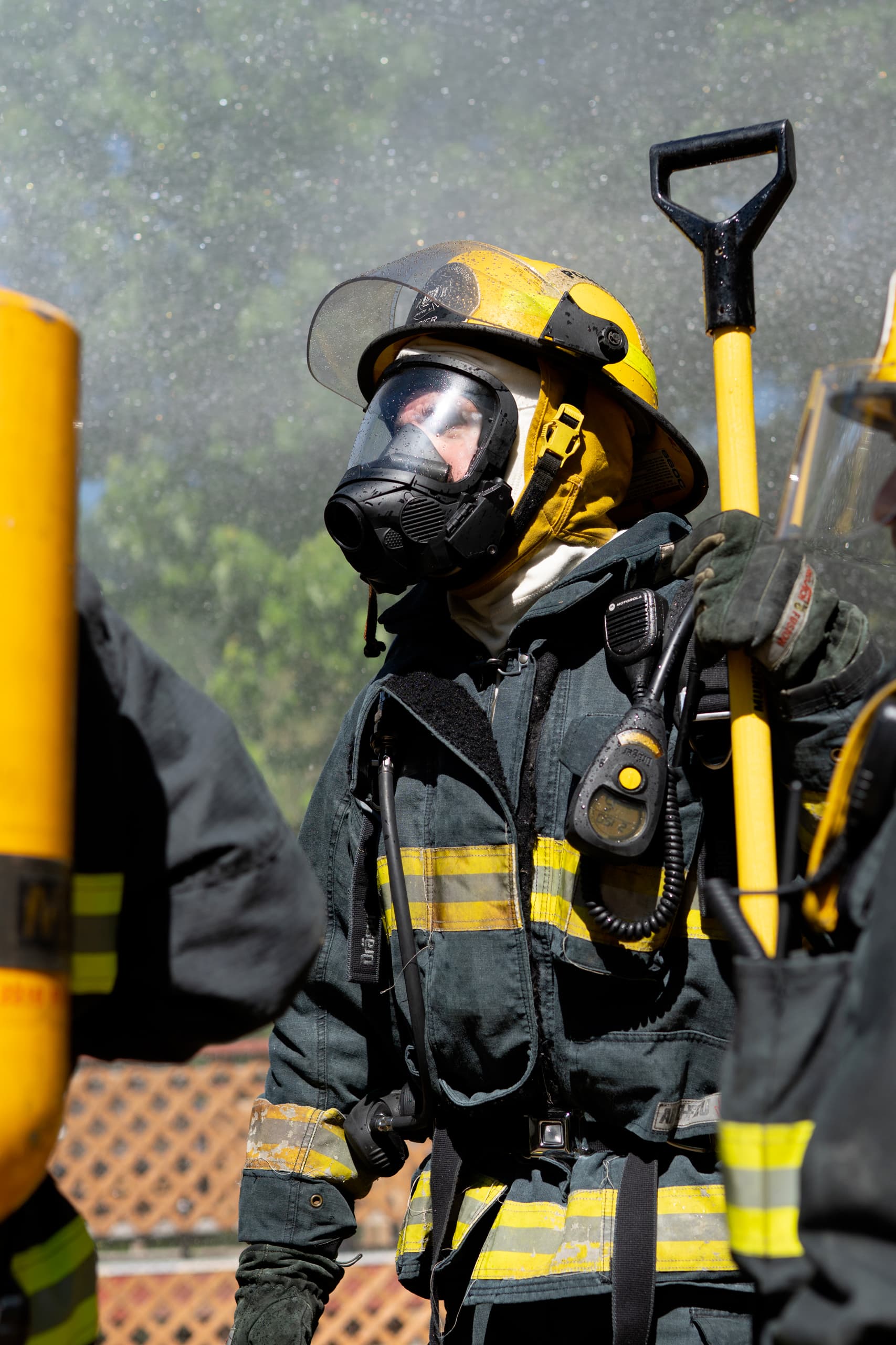
Navigating Challenging Environments: Whether you are a military unit operating on the battlefield or a team of first responders approaching the scene of a natural disaster, losing your orientation can easily occur. Most people have experienced becoming lost as they drive around a city they are unfamiliar with. This experience is amplified many times when the environment is hostile, or roads are blocked by rubble. GPS can help navigate people through challenging environments such as these. For example, imagine firefighters responding to the scene of an earthquake. A map showing the various roads of a city streets might have been beneficial before an earthquake. However, with rubble everywhere and roads blocked off by fallen buildings, that map may now have less value. GPS can allow for navigation that transcends more traditional approaches such as ready a map.

Search & Rescue Operations: Having been on several search & rescue teams, I have often been surprised by how difficult it is to find someone who is lost. Even when the number of trained searchers is significant, and assets such as helicopters are utilized, a lost person might not be found until months or years after they disappear, which by that time is too late. GPS has helped to make the job of search & rescue teams much easier. Many people wandering into the wilderness now carry Personal Locator Beacons (PLBs). These devices use GPS to track the location of an individual as they explore off the beaten path. In the event the person doesn’t return to civilization when expected, the PLB can tell search teams exactly where they are located and greatly increase the likelihood that they will be found alive.
Disaster Response: Just like GPS helps military planners make timely decisions on the battlefield, GPS can help orchestrate effective relief efforts after a natural disaster. In the chaos that often comes after a disaster, getting the right people and resources where they are needed is of vital importance. Lives are literally at stake with each minute that passes by. With accurate positioning provided by GNSS networks, logistics and resource allocation become much easier to coordinate. Emergency management personnel can see in real time where EMTs, police, and firefighters are. As new situations arise during recovery operations, planners can move first responders where they are most needed in the most efficient manner possible, thanks to GNSS technology.
GNSS, and particularly GPS, have revolutionized our ability to identify our location on the Earth’s surface. In a world where military forces and first responder units depend on interoperability, understanding location is paramount and must be obtained with as little effort as possible. GPS provides this information with unmatched speed and precision. As more devices and applications embrace the power of GPS satellite systems and other GNSS technology, we will continue to see more benefits from these globally vital assets.
Have you enjoyed this article? Be sure to subscribe to our blog to catch the next one as soon as we publish!